Geographic Information System
Why You Choose TELCAD Design Services
We are Professional Geographic Planning
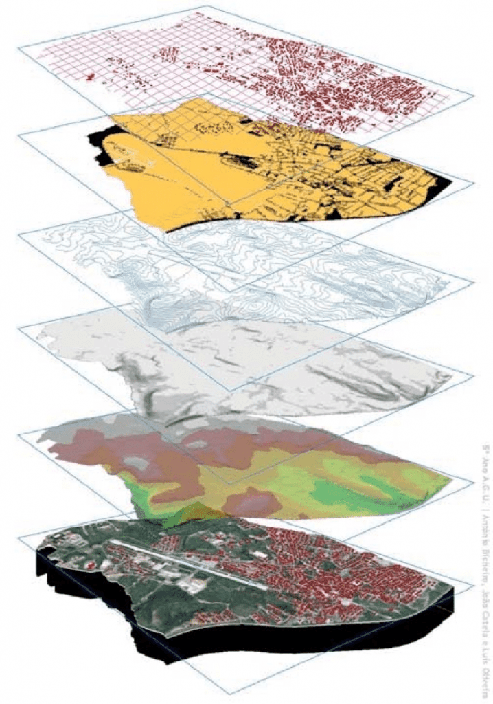
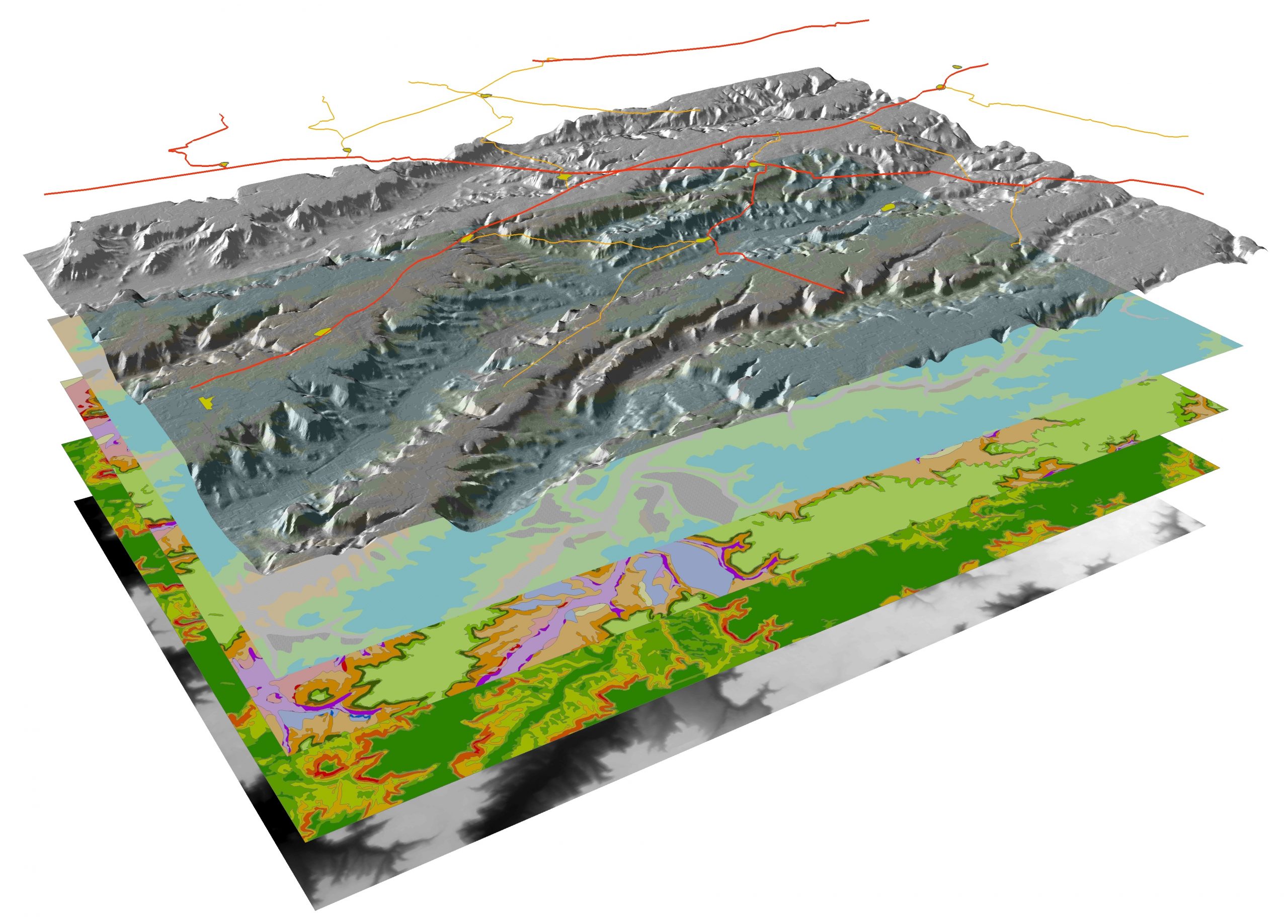
Geographical Information System (GIS) integrates hardware, software and data in one powerful tool that helps describe and analyze a site geographically.
Combining our planning, surveying, engineering, and IT skills, TELCAD provide a wide range of Geographical Information Systems services. We can assemble, store, manipulate, and display geographically referenced information.
Our design assists stakeholders from industry sectors like transportation, state and country administration, municipal corporations, and utilities like storm waterline, sewage line, gas line etc. With immense capabilities in GIS Software.
We are Professional Geographic Planning
TELCAD has an energetic team of highly qualified professionals with extensive international experience in the Telecom industry with the ability to customize the site designs as per customer requirements.
Our design persons and GIS engineers provide optimal layout design based on site conditions, Radio frequency requirements, architectural constraints and customer choices.
We have inbuilt library of tools, symbols and language that can be readily used for the preparation of drawings. This ensures that our clients receive a GIS model that can interface with other community agencies for seamless coordination and efficiency
What We Do
We offer the detailed design of all phases of construction such as
- Transportation
- Agriculture / Agricultural Engineering
- Raster to Vector conversion
- Cloud Masking
- Geo-referencing
- Topographic Surveys
- TELCAD Design Services
Your Trusted Design Partner
We are constantly striving to ensure all designs are cost-effective for our Clients while ensuring ease of fabrication and transport to the site. We welcome challenges and always aim to provide technical guidance and expertise professionally.
